Namibia - The road
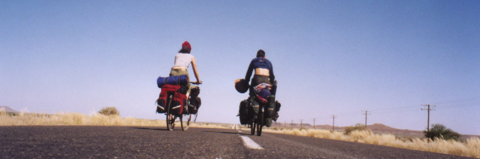
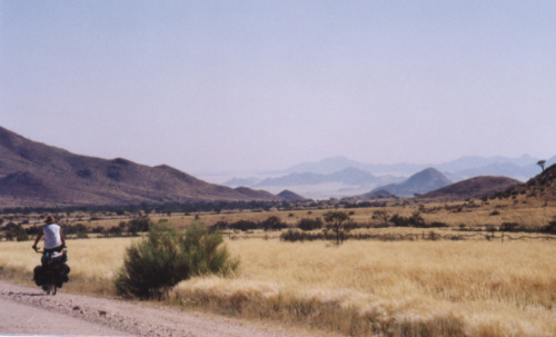
Southern Namibia, around Fish River Canyon. |
|
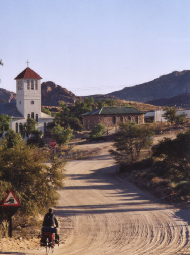
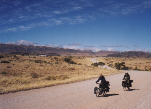
| The little town of Aus on the way to the South Atlantic coast, last human settlement before the Southern Namib desert. |
|
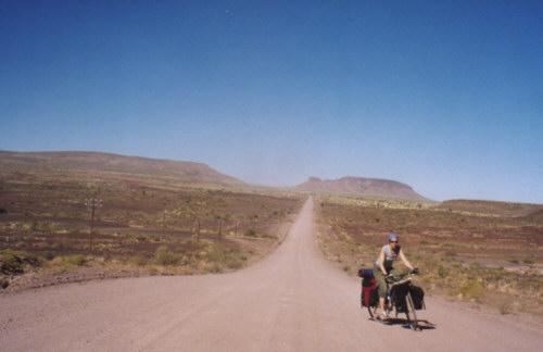
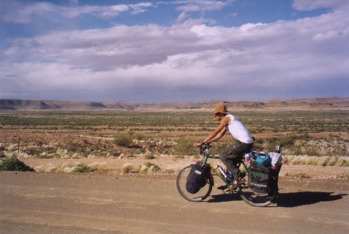
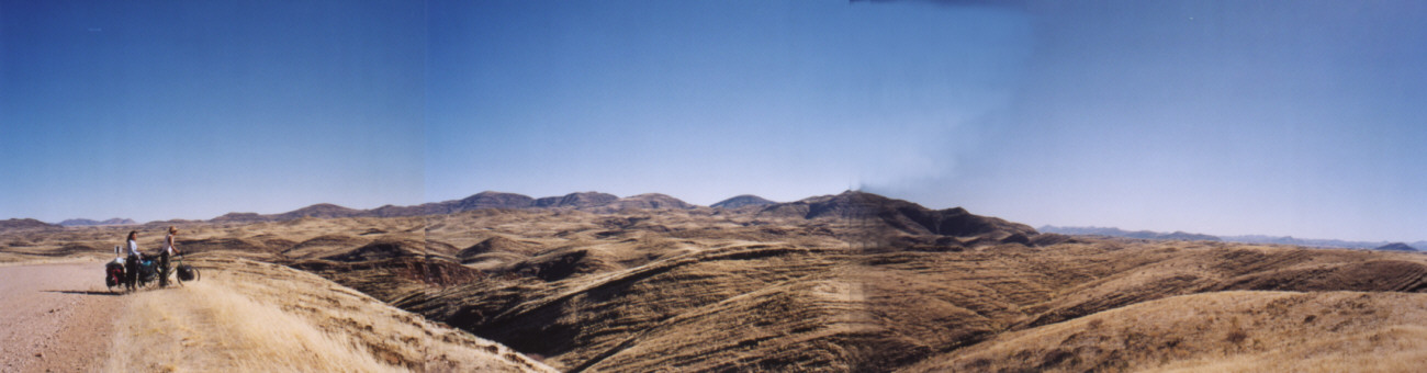
| The breathtaking vastness of the Southern Namib desert, in the Nama language Namib means "vast dry plain". |
|
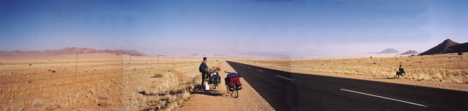
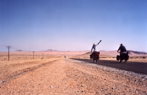
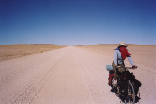
| 125 kilometers of nothingness. |
|
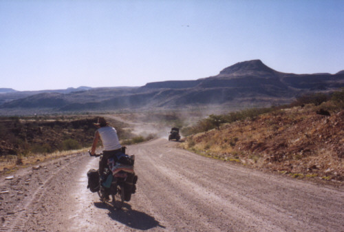
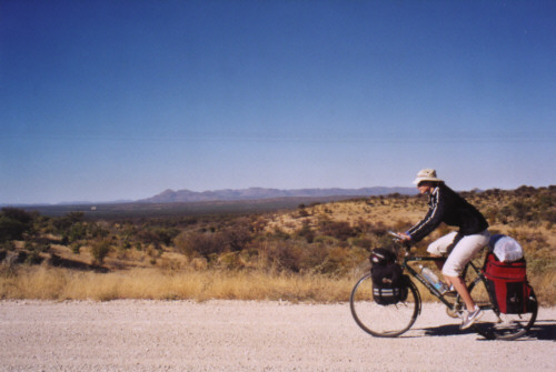
| Heading North through the central plateau. |
|
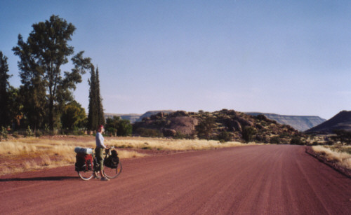
| Rolling hills on the way to Duwisib castle. |
|
| West of Tsarishoogte Pass. |
|
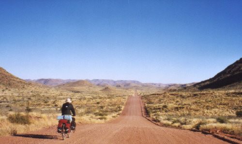
| Downhill into the central Namib desert, to Sossusvlei. |
|
| Fighting the Northern winds on the way to Solitaire. |
|
| Namib-Naukluft national park. |
|
| The great desert crossing. |
|
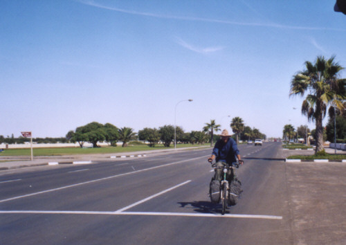
| Back to civilization: Walvis Bay coastal town. |
|
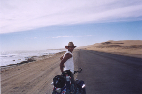
| Following the Atlantic ocean along Skeleton coast. |
|
| Damaraland, North-Western Namibia. |
|
| The C39 in North central Namibia, 130km of paved road! |
|
| 90% of Namibia's road are loose gravel or sand. |
|
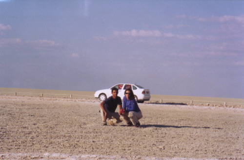
| Northern Namibia, the impressive Etosha Pan: "Great white place of dry water". |
|
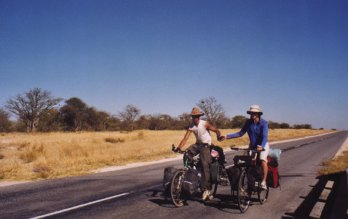
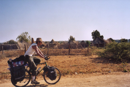
| Crossing the Western part of Caprivi strip, heading to the Botswana Mahengo border crossing. |
|