Welcome to Mary Ann & Tim's travelog for the North West Territories.
This is a personal website. Please do not link to it.
MA & T in NWT: Landscapes
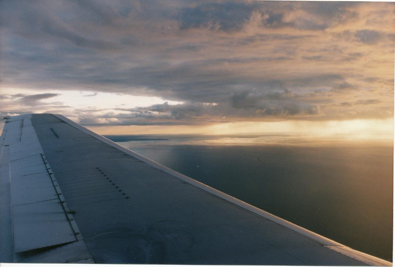
Photo: ?, 1996/7/15
Great Slave Lake, approaching Yellowknife
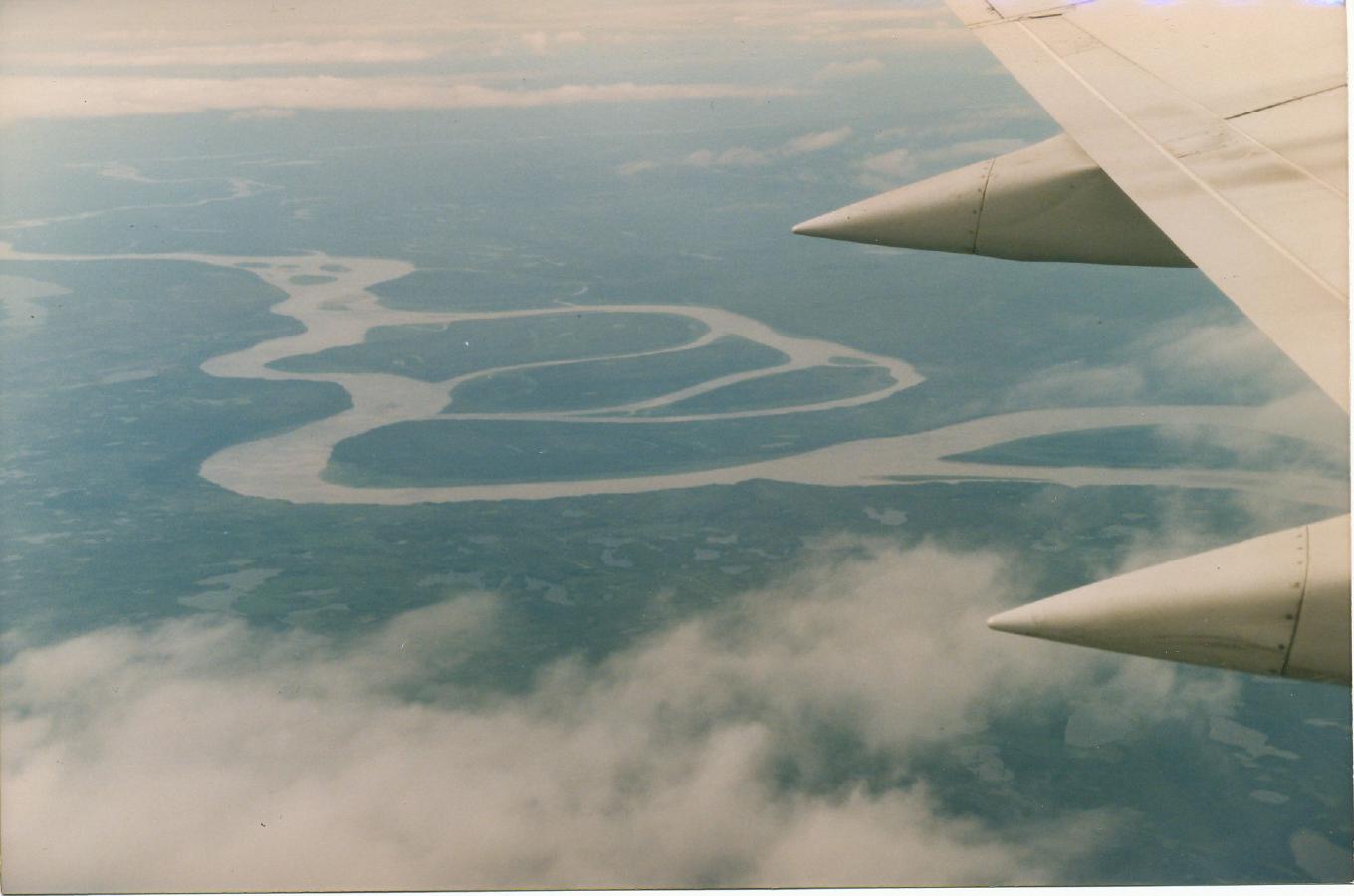
Photo: ?, 1996/7/17
Mackenzie River, approaching Norman Wells
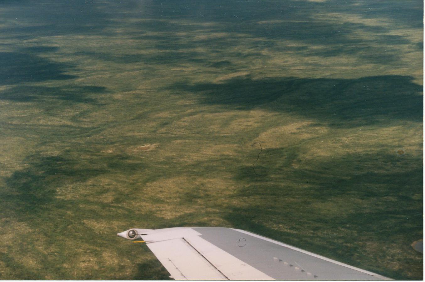
Photo: ?, 1996/7/17
Landscape, approaching Inuvik
Photo: ?, 1996/7/24
Mackenzie delta, leaving Inuvik
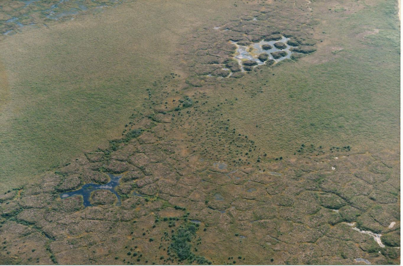
Photo: ?, 1996/7/24
Frost tiling between Inuvik and Tuktoyaktuk. (Very slow convection brings rocks to the surface forming lines halfway between two convection rise-points. In computer science we call these lines the edges of Voronoi diagrams.)
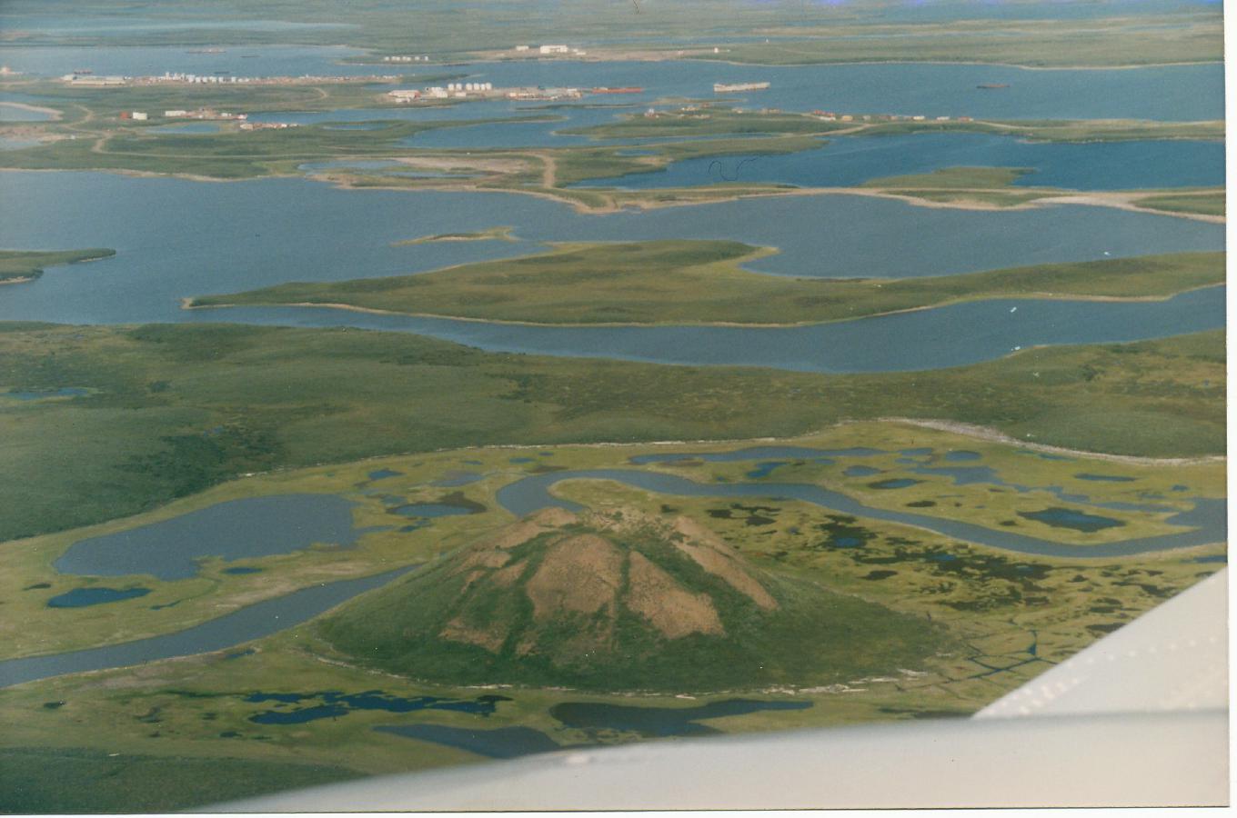
Photo: ?, 1996/7/24
Tuktoyaktuk and its pingo. (Over about a 3000-year cycle the pingo expands due
to ice buildup inside, then splits, melts and becomes a circular lake.)
Photo: ?, 1996/7/24
Three pingos at Tuktoyaktuk.
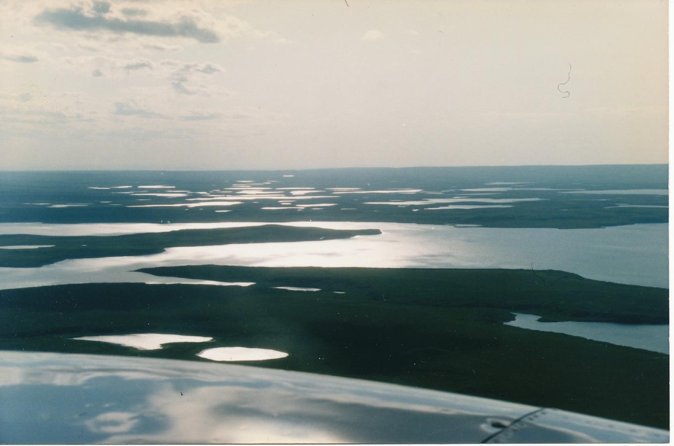
Photo: ?, 1996/7/24
Islandscape between Tuktoyaktuk and Inuvik
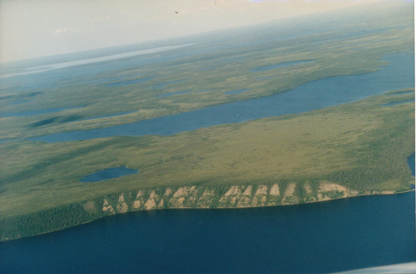
Photo: ?, 1996/7/
Dunes between Tuktoyaktuk and Inuvik
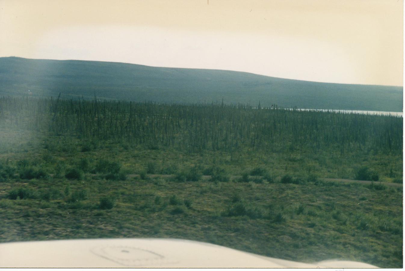
Photo: ?, 1996/7/24
Taiga between Tuktoyaktuk and Inuvik