Welcome to Mary Ann & Tim's travelog for New Mexico.
This is a personal website. Please do not link to it.
MA & T in south New Mexico:
Silver City, Cloudcroft and Sacramentos, Alamogordo
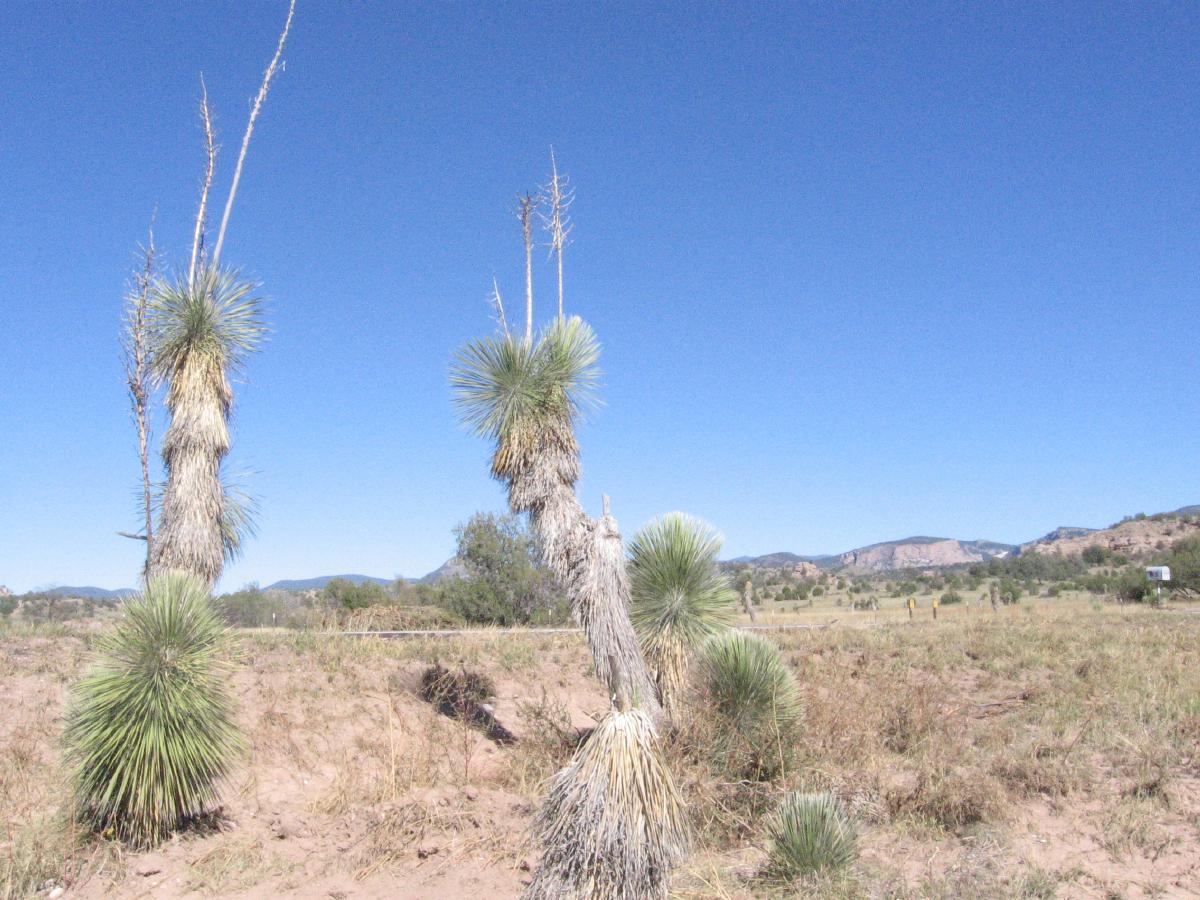
Photo: T, 2013/10/1
Joshua trees.
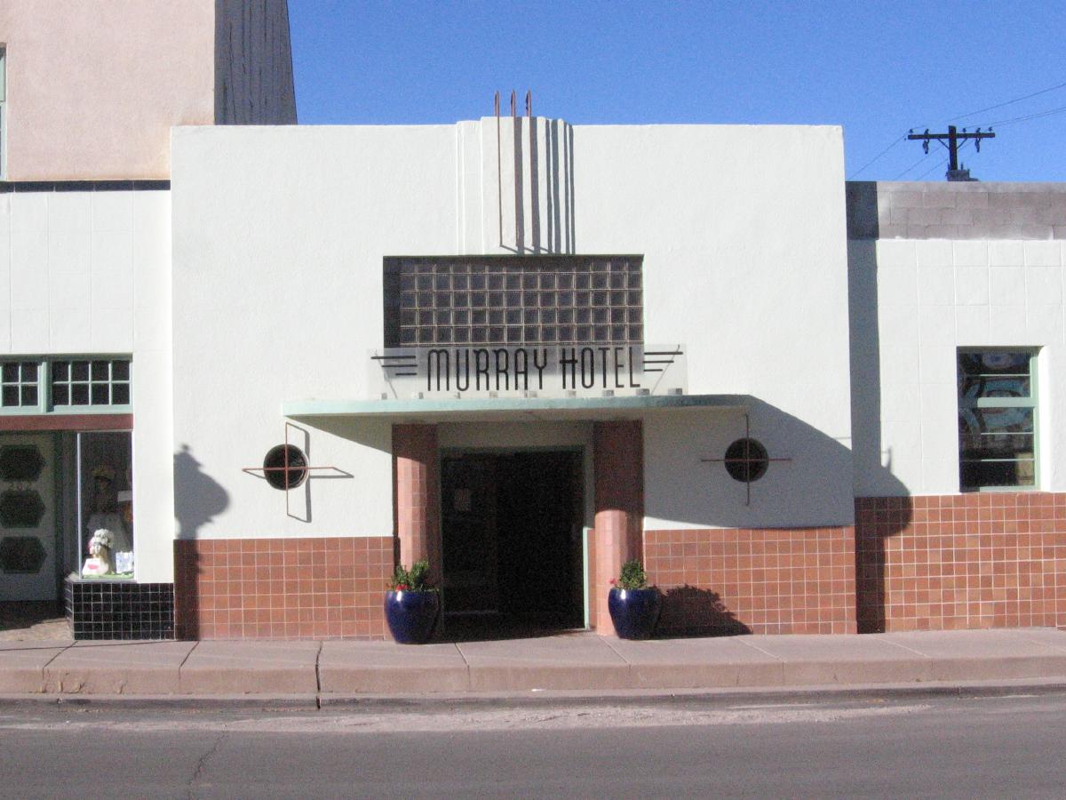
Photo: T, 2013/10/2
Silver City ...
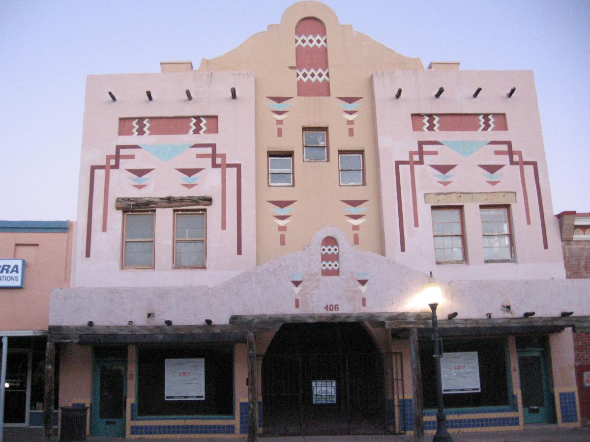
Photo: T, 2013/10/1
Pueblo Deco?
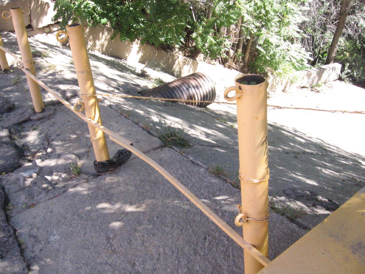
Photo: T, 2013/10/2
The end of a typical street in old Silver City: a runoff into ...
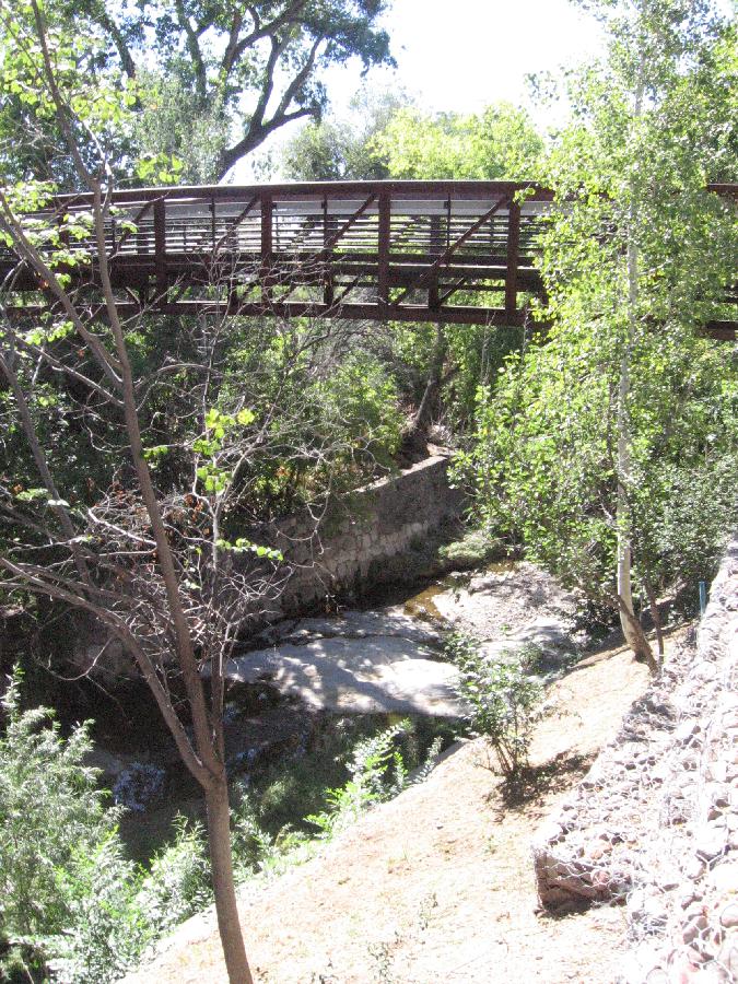
Photo: T, 2013/10/2
The Big Ditch. It was Main Street until 1895 when a timber-clearance amplified
flood turned it into a 35-foot ditch, subsequently deepend to bedrock 55 feet
down.
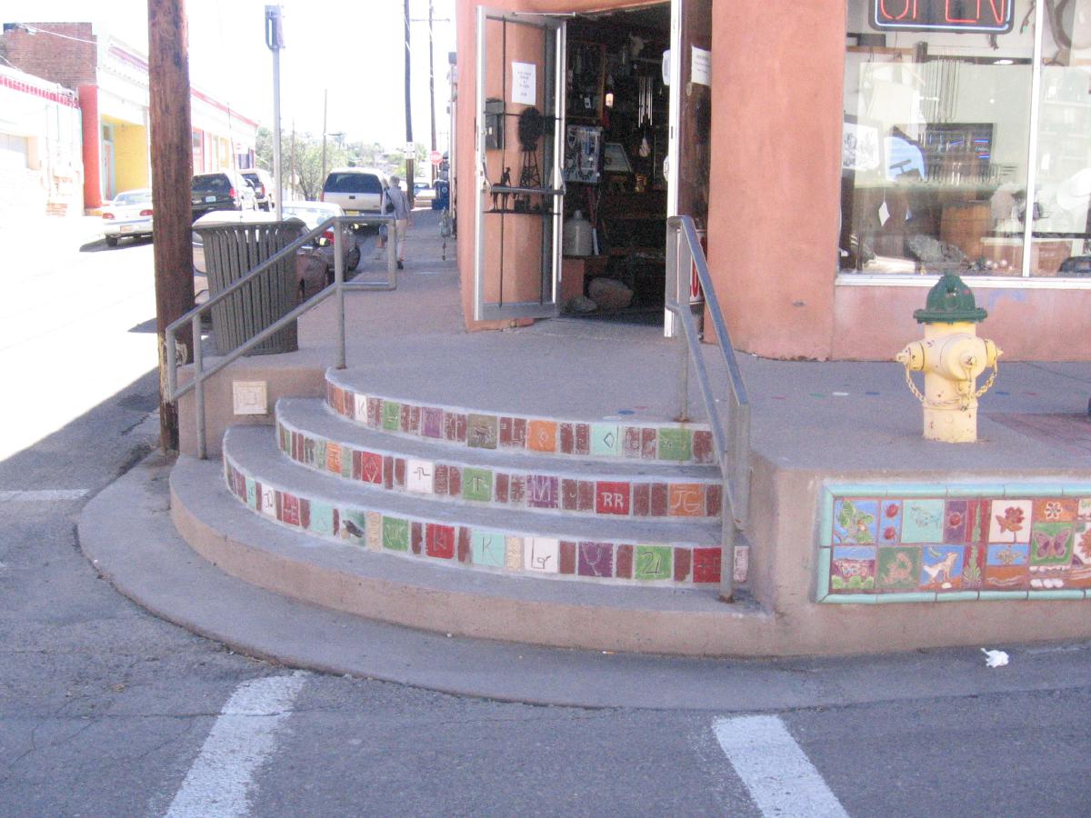
Photo: T, 2013/10/2
Silver City sidewalks are still raised against flooding.
Photo: T, 2013/10/2
Did we say art everywhere?

Photo: M, 2013/10/2
T and friend at Buckhorn Saloon, Pinos Altos.
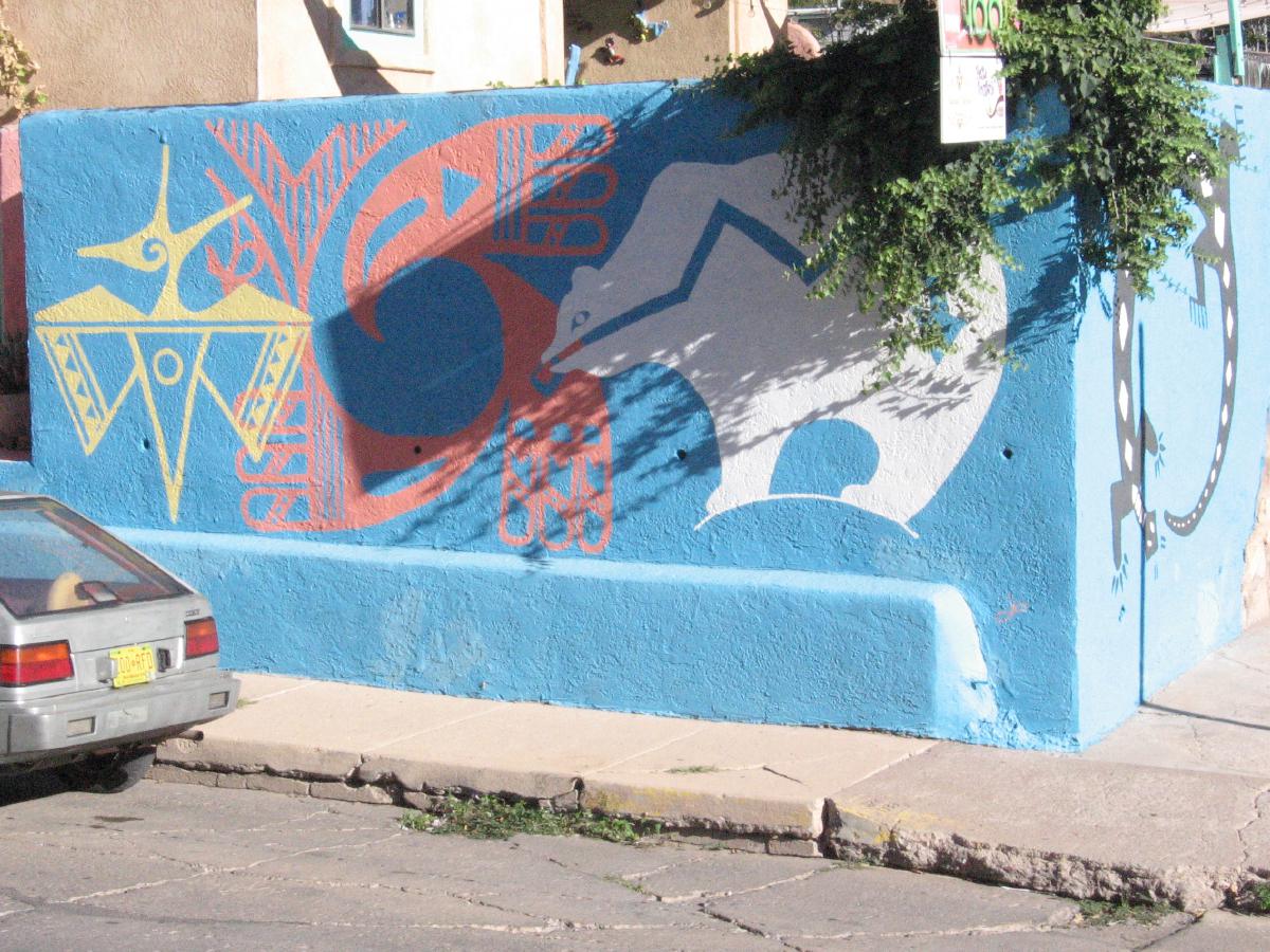
Photo: T, 2013/10/3
Opposite Vicki's Eatery.
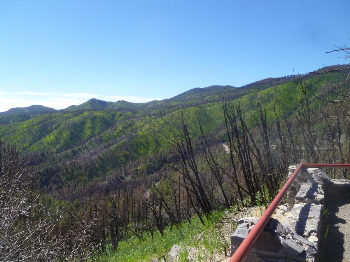
Photo: M, 2013/10/3
The extended monsoon turned Gila green.
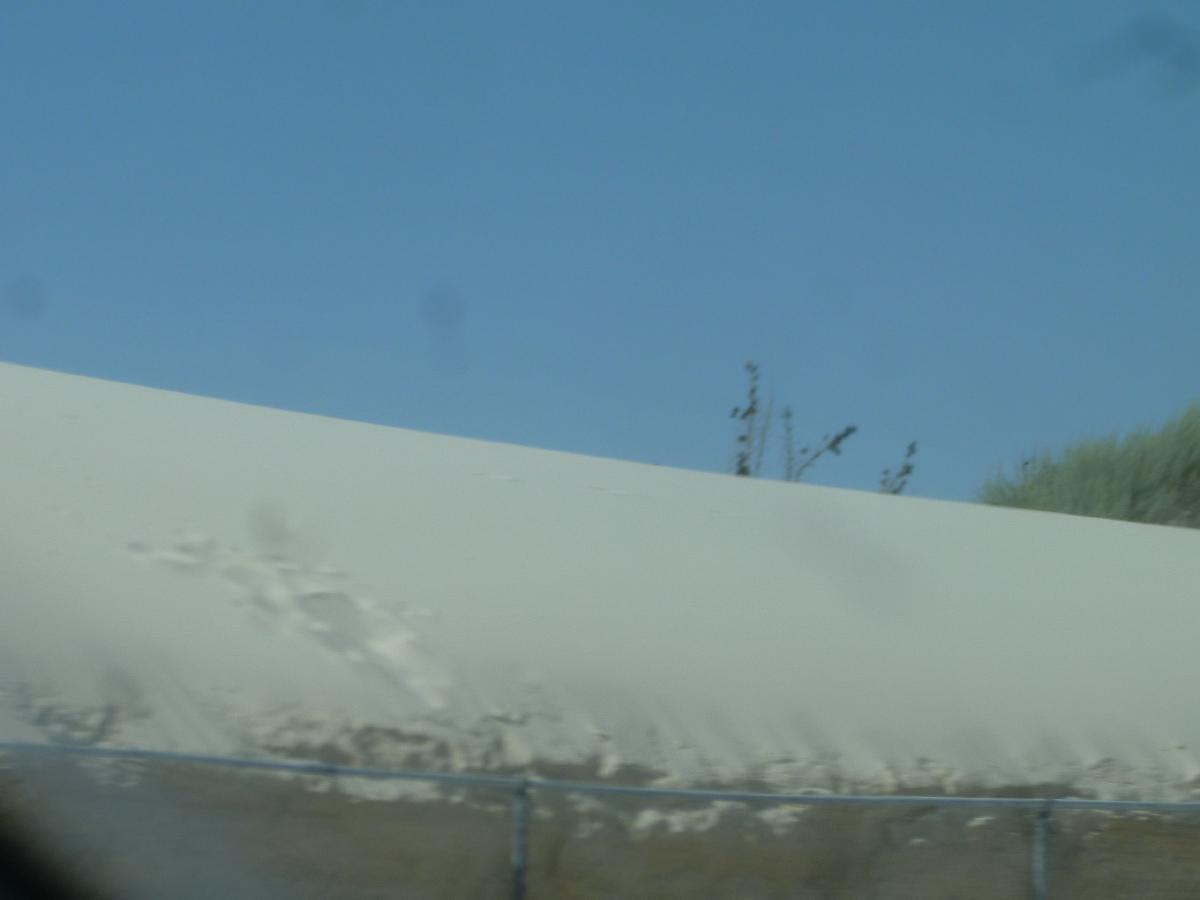
Photo: M, 2013/10/3
White Sands encroaching on Hwy 70.
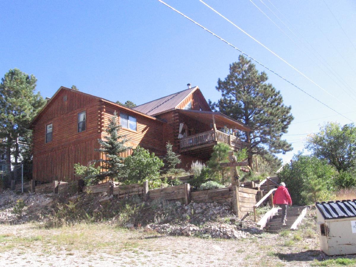
Photo: T, 2013/10/5
Burro Street Boardinghouse, Cloudcroft.
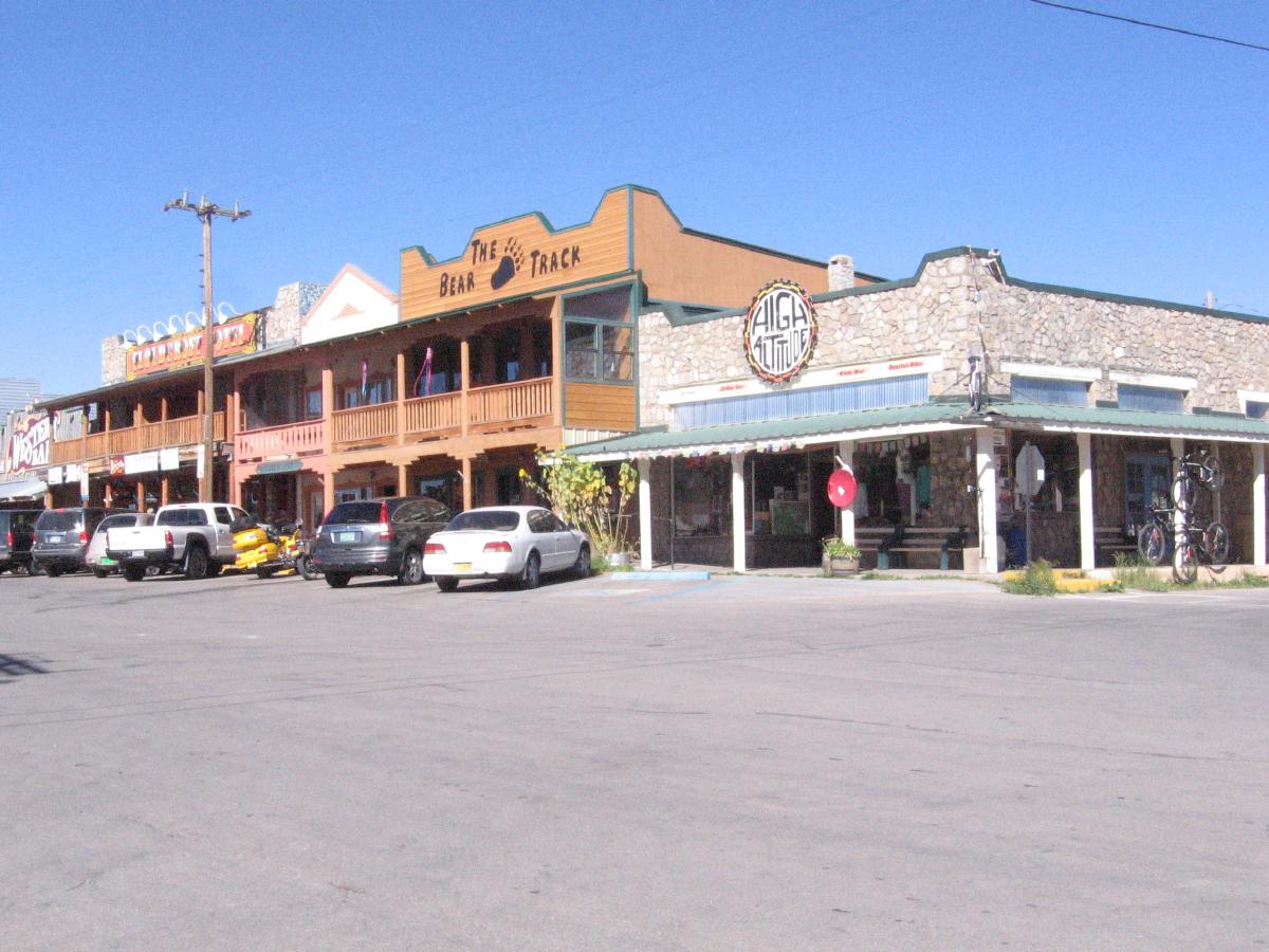
Photo: T, 2013/10/5
Cloudcroft.
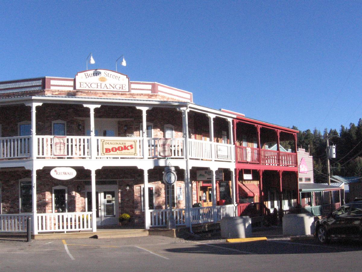
Photo: T, 2013/10/5
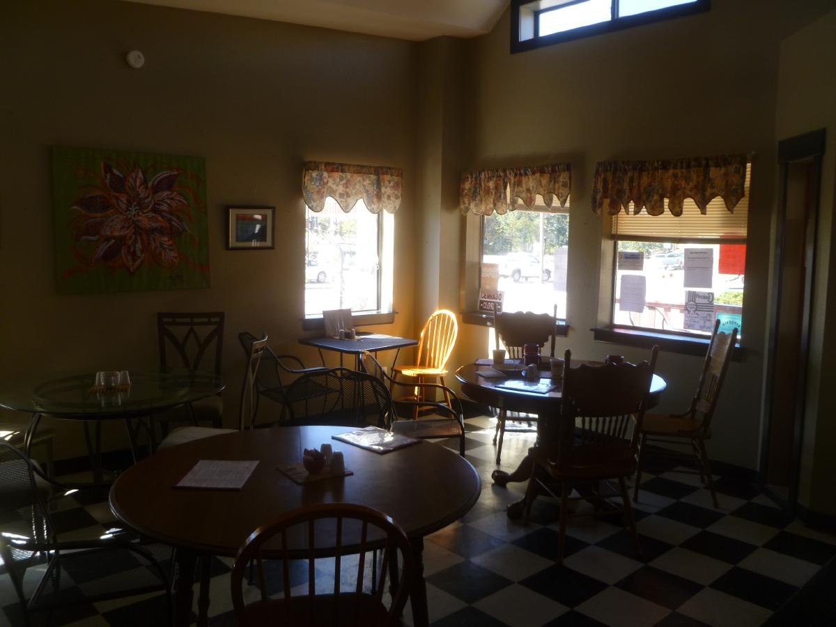
Photo: M, 2013/10/5
Cloud Cafe.
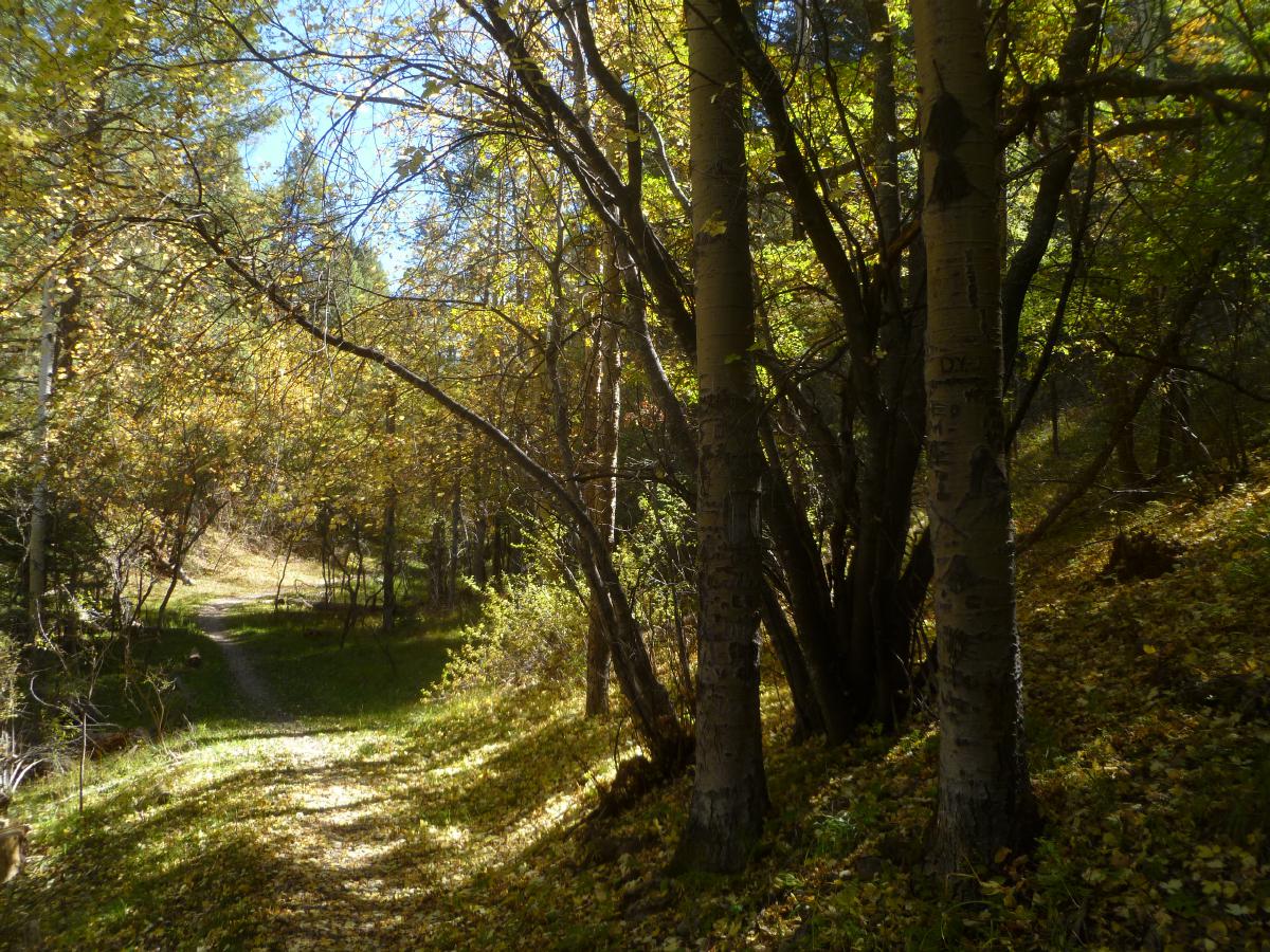
Photo: M, 2013/10/4
Osha trail.
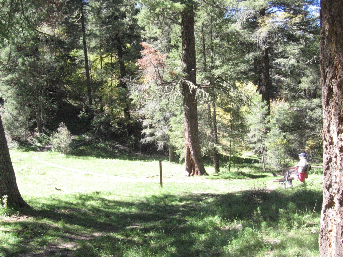
Photo: T, 2013/10/4
A meadow on the trail.
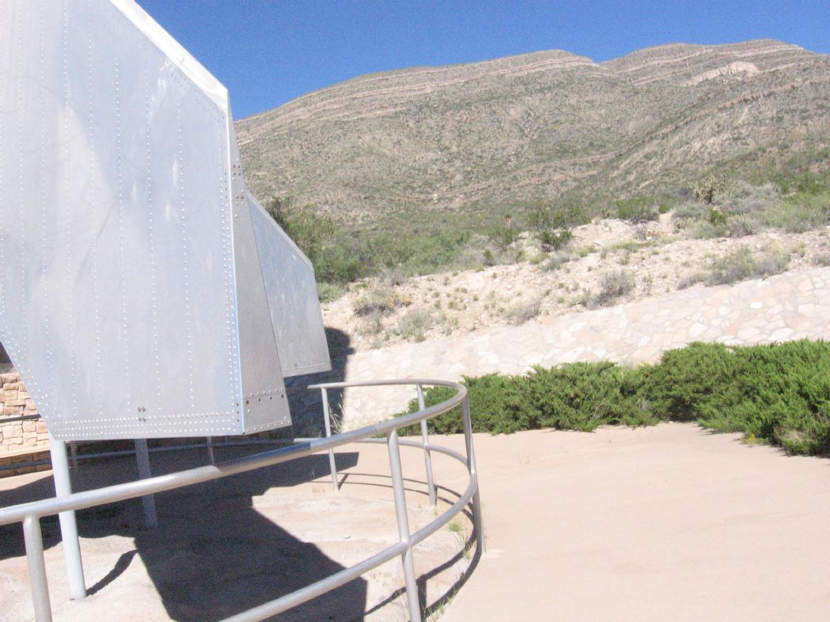
Photo: T, 2013/10/4
Lincoln National Forest and the tailfin of Little Joe at the New Mexico Museum
of Space History.
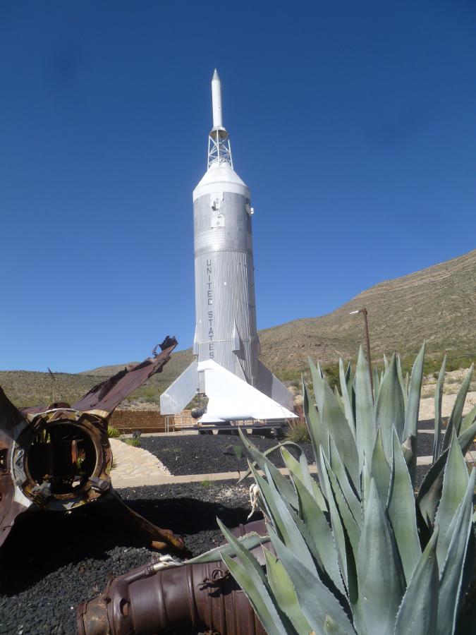
Photo: M, 2013/10/4
WWII V2 remains and Little Joe, built to test the escape mechanism from the
Saturn spacecraft.
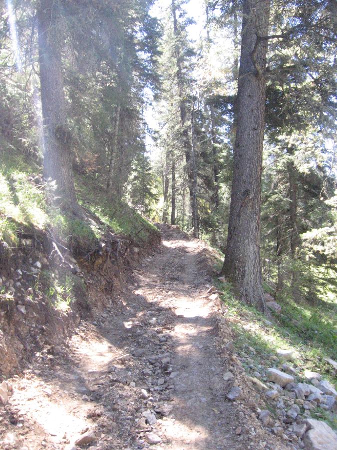
Photo: T, 2013/10/5
The wrong start to the Willie White trail, Lincoln National Forest. With the
ranger stations closed there were no maps, but we were set right by a hiker.
(Can you imagine doing this on an ATV?)
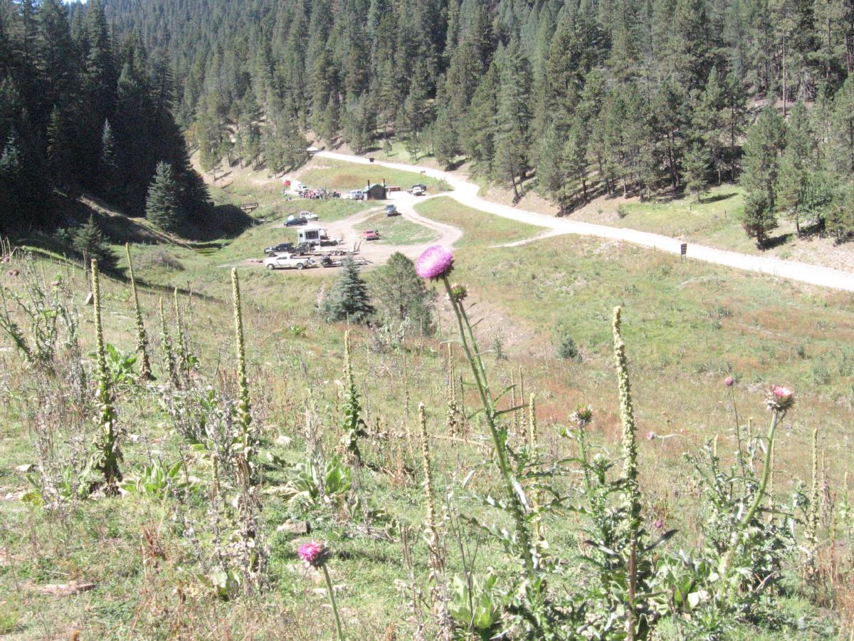
Photo: T, 2013/10/5
The right start, from Bluff Springs parking lot.
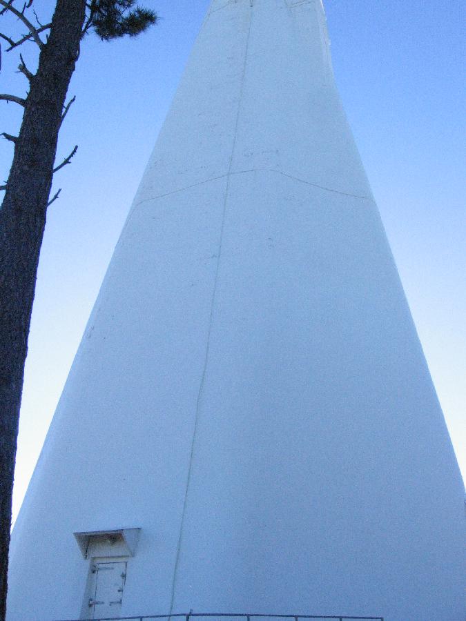
Photo: T, 2013/10/5
The Dunn Solar Telescope, National Solar Observatory, Sacramento Peak. 63% of
it is under ground. (The next Coronal Mass Ejection might
derail human communications if its magnetization supplements Earth's.)
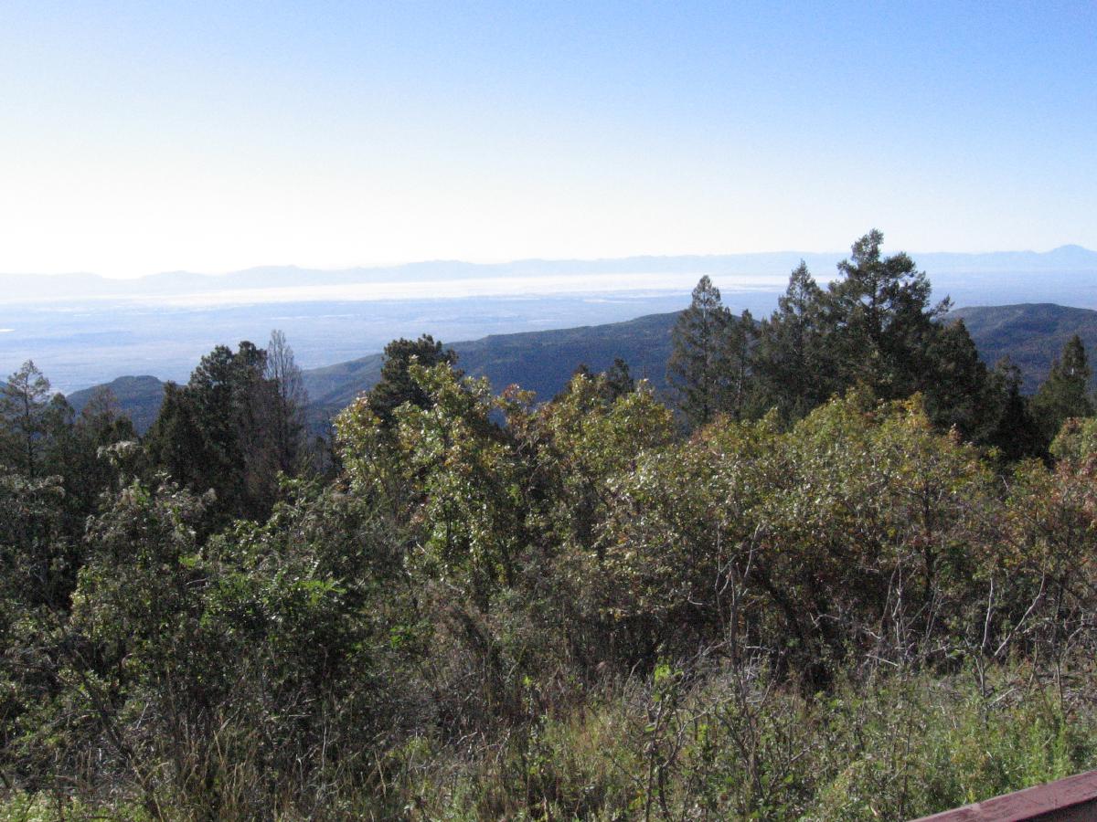
Photo: T, 2013/10/5
White Sands from the National Solar Observatory.
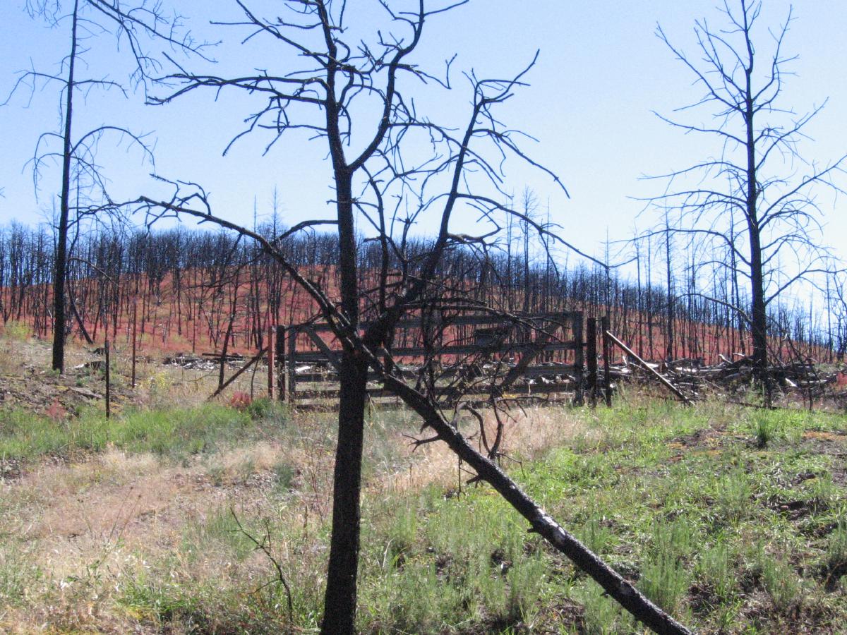
Photo: T, 2013/10/6
Fire residue, north of Ruidoso.
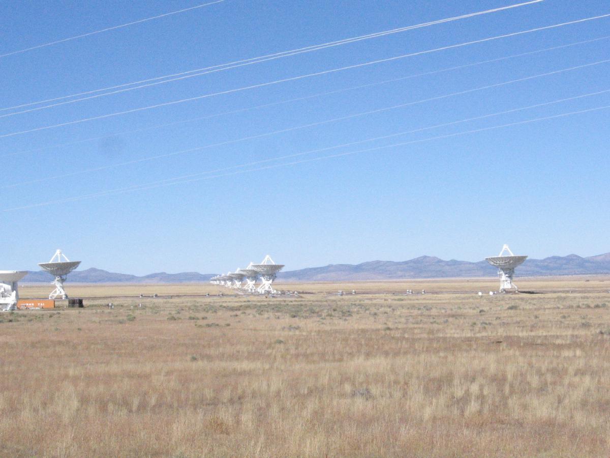
Photo: T, 2013/10/6
The Very Large Array, Hwy 60.