Welcome to Mary Ann & Tim's travelog for New Zealand and Australia.
This is a personal website. Please do not link to it.
MA & T in the southeast of Tasmania: Hobart, Port Arthur, Bicheno
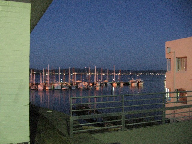
Photo: MA, 2006/1/15
Hobart: Wrest Point anchorage at night.
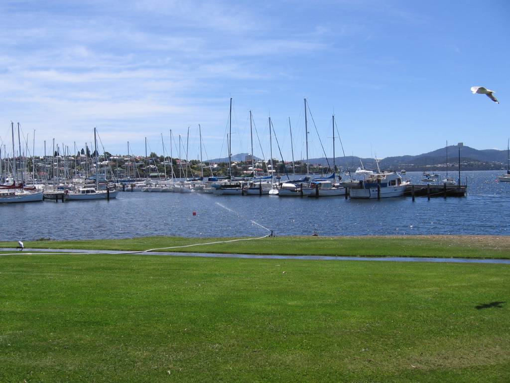
Photo: T, 2006/1/19
Hobart: Wrest Point anchorage by day.
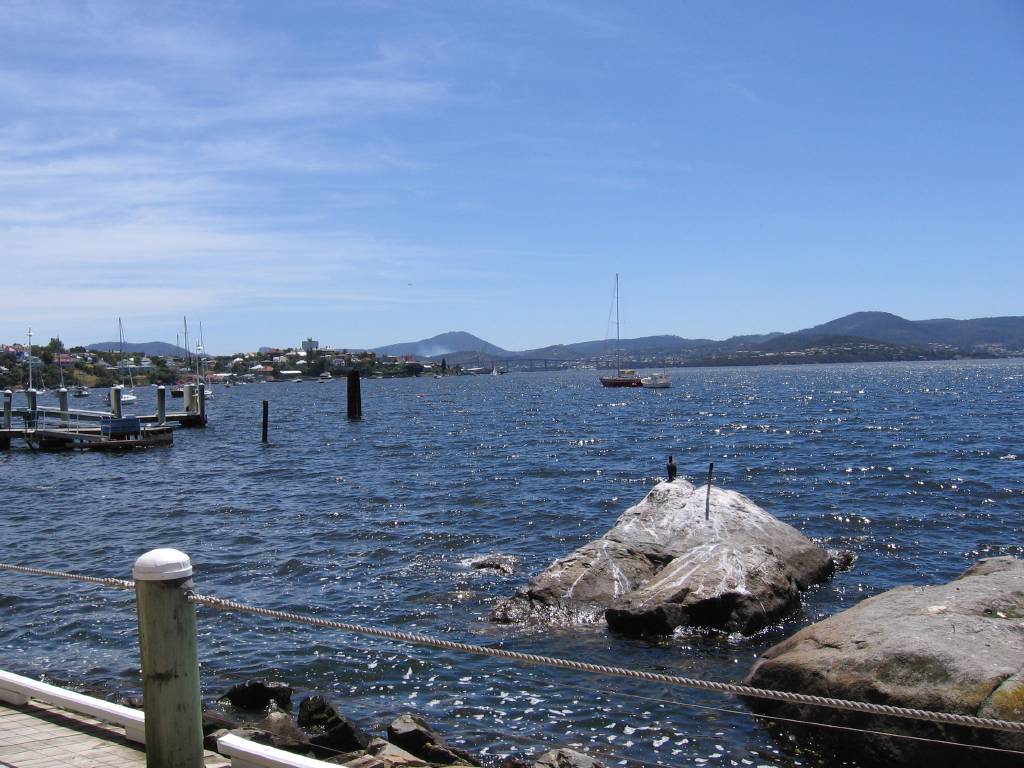
Photo: T, 2006/1/19
Hobart: from Wrest Point, looking across the Derwent.
(To look the other way, where we stayed, websearch "Wrest Point Hotel Motel".)
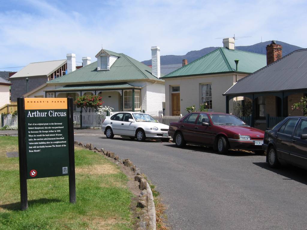
Photo: T, 2006/1/19
Hobart: Aurthur Circus.
The sign says "Hobart's Parks. Arthur Circus. Part of an original grant to the
Reverend Robert Kingswood [?], this site was purchased by Governor Sir George
Arthur in 1829. When he resold the land almost 20 years later, the auction
advertisment described "Delectable building sites in a neighbourhood that will
inevitably become the Resort of the Beau Monde.""
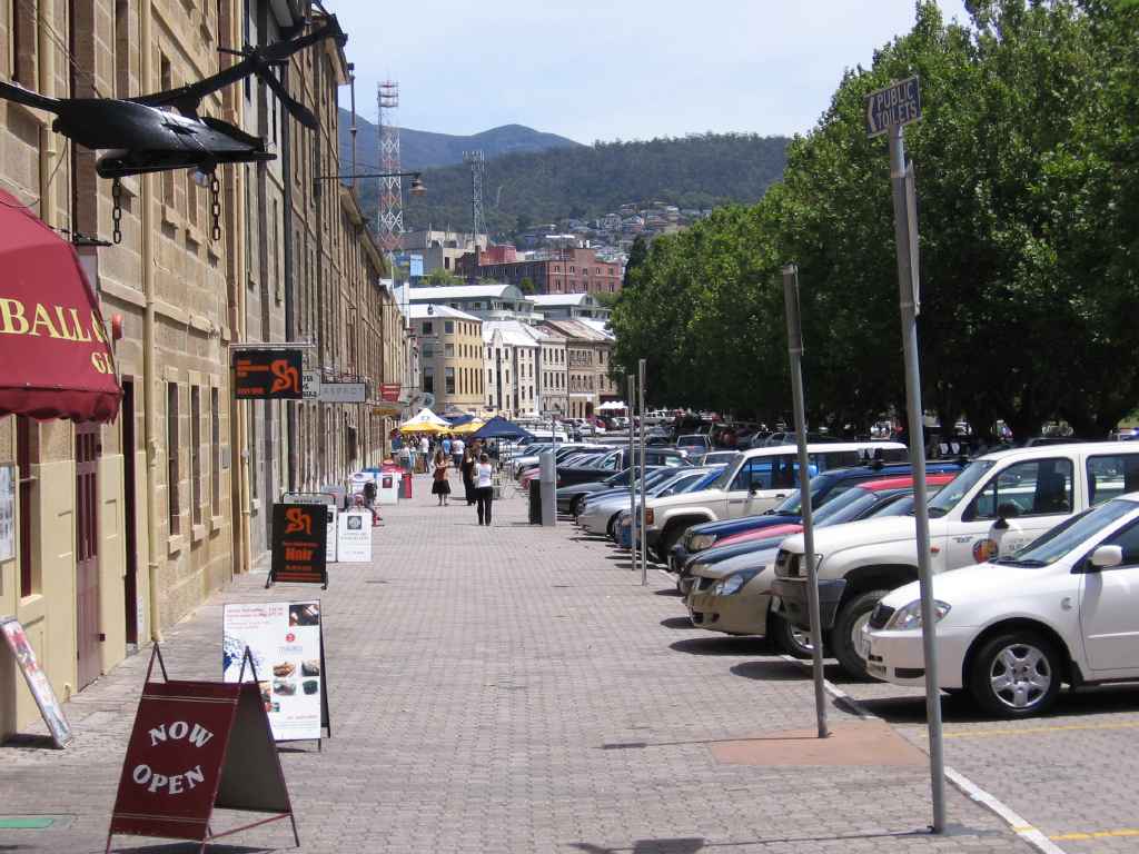
Photo: MA, 2006/1/19
Hobart: Salamanca Street.
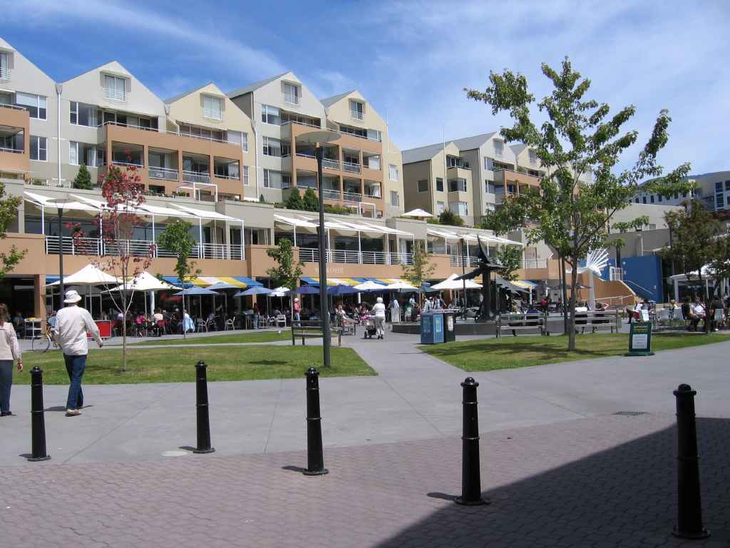
Photo: MA, 2006/1/19
Hobart: Salamanca Square.
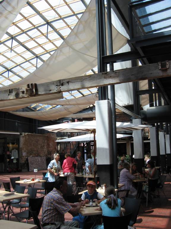
Photo: MA, 2006/1/19
Hobart: courtyard of the former IXL Jam Company.
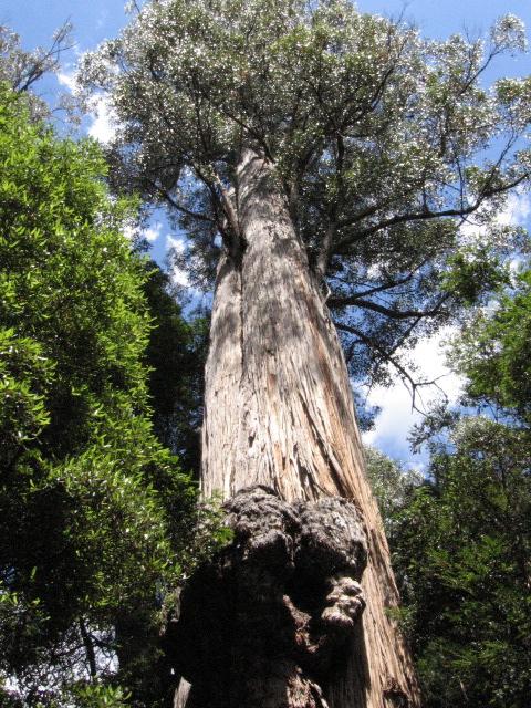
Photo: T, 2006/1/20
Tahune Forest near Geeveston: stringy bark gum at Keogh's Creek.
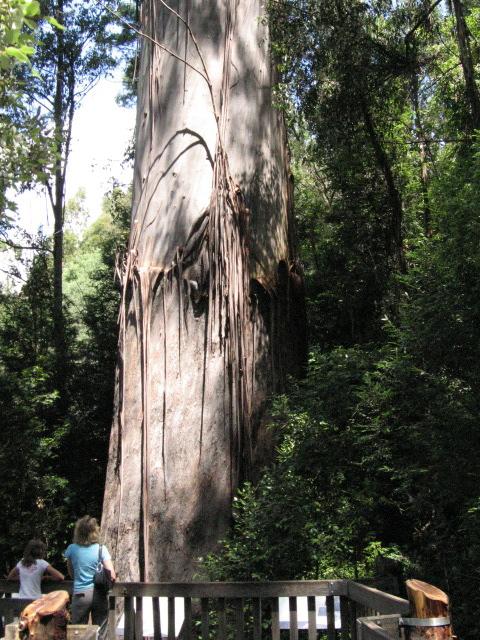
Photo: T, 2006/1/20
Tahune Forest near Geeveston: swamp gum at Big Tree Lookout. Over 1000 years old
and 83 metres high.
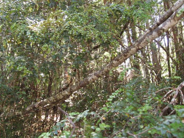
Photo: T, 2006/1/20
Tahune Forest: Anodopetalum Biglandulosum ("Horizontal Tree"). These
things made exploring and clearing a tad difficult.
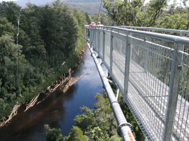
Photo: T, 2006/1/20
The Huon River below the cantilevered part of the Tahune Forest Air Walk.
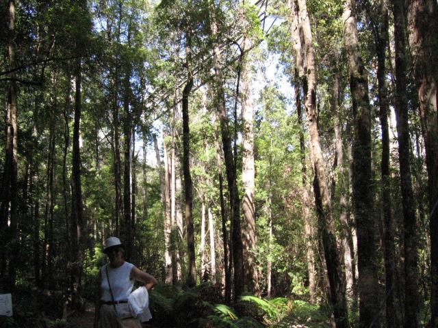
Photo: T, 2006/1/20
The Air Walk from below.
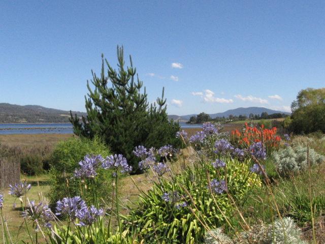
Photo: T, 2006/1/20
Huon River estuary with agapanthus and red-hot pokers.
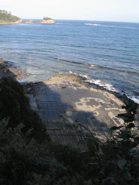
Photo: T, 2006/1/20
The "tesselated pavements" at Eaglehawk Neck. The higher ones ("pans") have
raised boundaries, the lower ("loaves") ones raised centres, both formed by
salt water erosion.
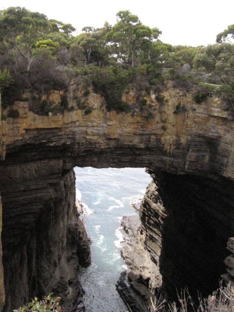
Photo: T, 2006/1/21
Tasman's Arch at Eaglehawk Neck.
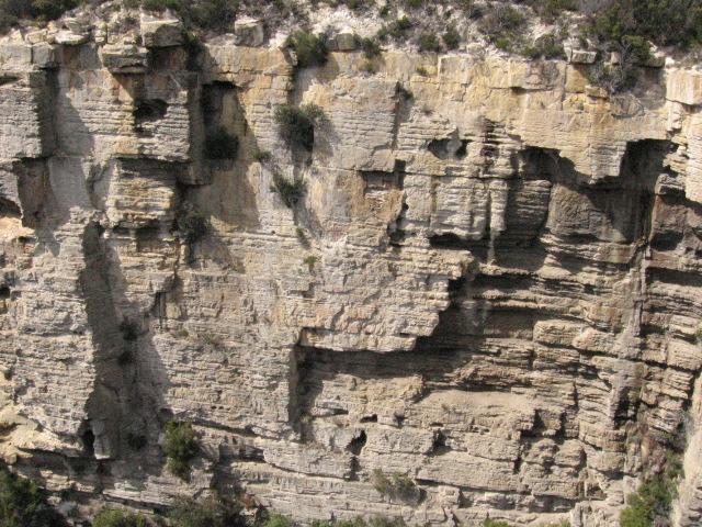
Photo: MA, 2006/1/21
Devil's Kitchen at Eaglehawk Neck.
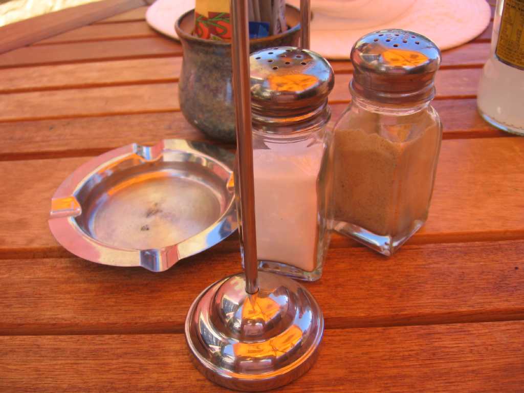
Photo: MA, 2006/1/21
Richmond: lunch table textures and colours from umbrella and sky.
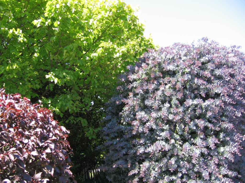
Photo: T, 2006/1/21
Richmond: tree colours on Church St.